

Dirfys topoguide app for iPhone and iPad
First release : 20 Mar 2018
App size: 29 Mb
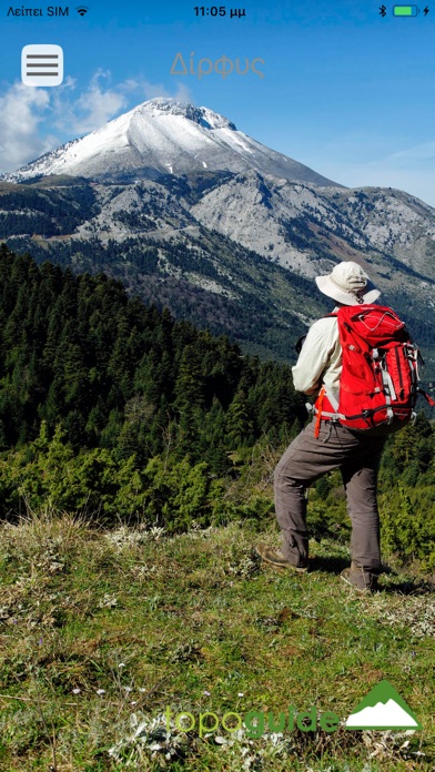
Mt. Dirfys is the highest and richest part of the mountain range of Central Eubea. With its 1743 meters, the summit of Mt. Dirfys is the highest elevation point of Eubea island. Its shape, somewhat resembles a volcano, is very characteristic and, especially when snow-covered, is distinguished from all mainland Greece.
The application Mt. Dirfys topoGuide is a digital field guide for the wider region of Mt. Dirfys, which includes routes, text, and photos and provide active navigation to the hiker. The application includes 24 hiking and 2 MTB routes, the 2 loops of Dirfys Marathon race, as well as an SUV tour. The hiking trails list includes easy and moderate hiking trails and harder mountain ascents, of a total length of 135 km.
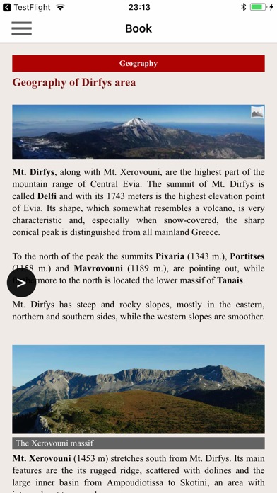
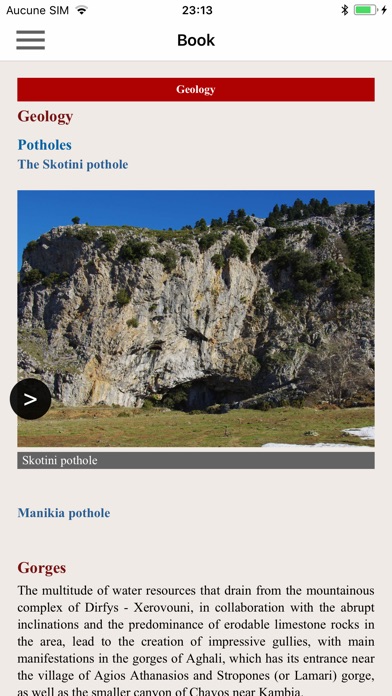
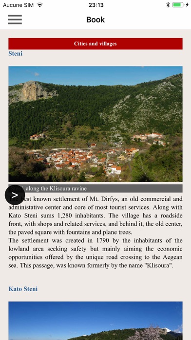
The application offers detailed off-line maps and an extensive introduction on geography, the nature and the monuments of Mt. Dirfys. The app offers also a useful list of some 200 POIs with a comprehensive search engine.
In the field, the app identifies the nearest adventure and provides active navigation on the path, displaying messages and warnings on every junction or other important location. On each Point of Interest, photos and texts are displayed on the map. If the hiker gets off-trail, the app indicates the shorter way to get back safely.
The cartographic company AnaDigit, creator of the application, has issued previously detailed hiking maps at a scale of 1: 25,000 for Mt. Dirfys, as well as hundreds other hiking maps for Greece (eg. maps of Mt. Olympus,Crete, Zagori, Sifnos, Naxos and other Aegean islands). To build the application and ensuring data accuracy, all paths of Mt. Dirfys have been recorded again during 2016.